File:Mapa de localització a la CCAA de Catalunya.svg

Size of this PNG preview of this SVG file: 596 × 600 pixels. Àteras risolutziones: 239 × 240 pixels | 477 × 480 pixels | 764 × 768 pixels | 1,018 × 1,024 pixels | 2,036 × 2,048 pixels | 850 × 855 pixels
Versione a risolutzione arta (file in formadu SVG, mannesa nominale 850 × 855 pixel, mannesa de su file: 762 KB)
| Descritzione |
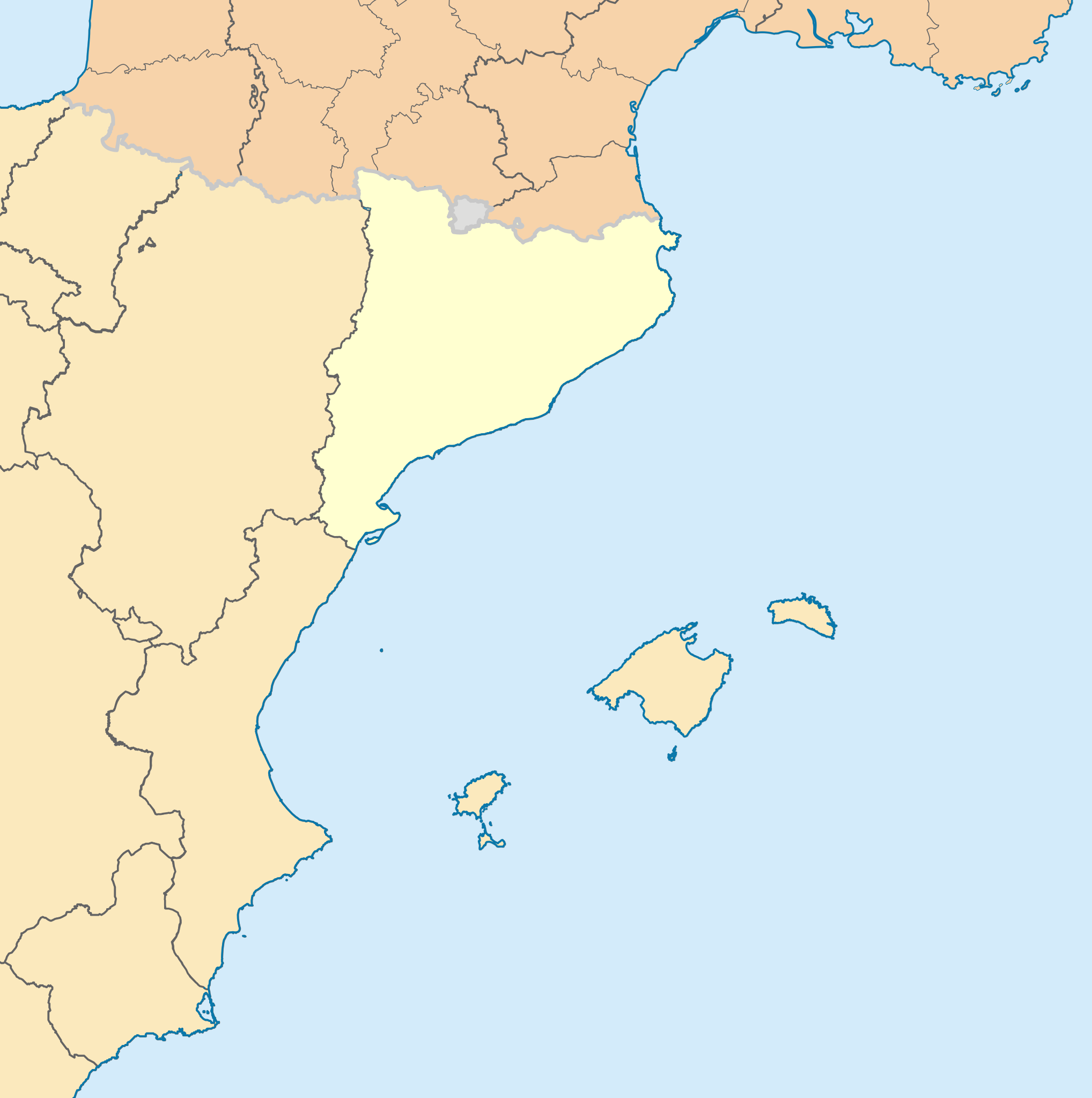
English: Blank administrative map of nord-est Spain for geo-location purpose, with regions. Approximate scale : 1:3,000,000 Français : Carte administrative vierge du nord-est de l'Espagne destinée à la géolocalisation, avec contour des régions. Equirectangular projection, WGS84 datumÉchelle approximative : 1:3 000 000 *Central meridian: 002° 06' E *True scale parallel: 46° 15' N Geographic limits of the map : *West : 005° 48' W *East : 10° E *North : 51° 30' N *South : 41° N Català: Mapa de les comunitats autònomes d'Espanya. |
| Data | (UTC) |
| Mitza | |
| Autore |
|
Custu documentu est litzentziadu in base a is tèrmines de sa litzèntzia Creative Commons Atributzione-Cumpartzi a sa pròpria manera 3.0 Unported.
- Tue ses lìberu:
- de cundivìder – de copiare, ispainare e trasmìtere s'òpera
- de adatare – de adatare s'òpera
- Suta de sas cunditziones chi sighint:
- atributzione – Depes indicare s'autore comente si tocat, frunire unu ligàmene a sa litzèntzia e indicare si sunt istadas fatas modìficas. Lu podes fàghere in cale si siat manera chi tèngiat sensu, ma no in cale si siat manera chi diat s'idea chi su titulare de sa litzèntzia suportet a tie o a s'impreu tuo.
- cumpartzi a sa pròpria manera – Si modìficas, trasformas, o isvilupas su materiale as a dèpere distribuire sos contributos tuos suta de sa matessi litzèntzia de s'originale o una cumpatìbile.
Original upload log
This image is a derivative work of the following images:
- File:France_location_map-Regions_and_departements.svg licensed with Cc-by-sa-3.0,2.5,2.0,1.0, GFDL
- 2009-02-02T16:12:50Z Yug 2000x1922 (772026 Bytes) Restore light style version ; a specific file name will be use for polygon departement maps.
- 2009-02-01T19:34:09Z Yug 2000x1922 (1849428 Bytes) restore East and southern border deleted by mistake + code improving.
- 2009-02-01T14:41:40Z Yug 2000x1922 (1852045 Bytes) Statistic friendly added, as an upper layer.
- 2008-11-07T13:23:10Z Sting 2000x1922 (772026 Bytes) + boundary for Channel Islands
- 2008-08-23T16:29:48Z Sting 2000x1922 (769918 Bytes) Larger strokes for boundaries
- 2008-07-25T17:35:54Z Sting 2000x1922 (770878 Bytes) Display bug
- 2008-07-25T17:28:38Z Sting 2000x1922 (772649 Bytes) Variable scale
- 2008-07-25T14:29:27Z Sting 2000x1922 (773101 Bytes) - border
- 2008-07-25T14:23:11Z Sting 2000x1922 (773214 Bytes) Other countries' color
- 2008-07-04T20:32:47Z Sting 2000x1922 (772973 Bytes) == Summary == {{Location|46|15|00|N|02|06|00|E|scale:10000000}} {{Information |Description={{en|Blank administrative map of [[:en:France|France]] for geo-location purpose, with regions and departements distinguished.Approxim
- File:Comunitats_autònomes_d'Espanya.svg licensed with Cc-by-sa-2.5
- 2007-03-02T08:43:02Z Ebrenc 644x458 (501215 Bytes) == Summary == {{Information |Description={{ca}} Mapa de les comunitats autònomes d'Espanya. |Source= [[:Image:Províncies d'Espanya.svg]] i [[:Image:Comunitats Autònomes.png]] |Date= 2 March 2007 |Author= Joan M. Borràs ([
- File:Map_of_Italy_blank.svg licensed with PD-self
- 2009-12-03T19:56:52Z F l a n k e r 1200x1500 (841149 Bytes) Added provinces of Molise
- 2009-12-03T00:15:46Z Vonvikken 1200x1500 (839705 Bytes) Fixed wrong borders between Abruzzo and Molise
- 2007-03-28T11:58:12Z F l a n k e r 1200x1500 (847741 Bytes)
- 2007-01-12T17:56:56Z F l a n k e r 1200x1500 (565393 Bytes)
- 2006-11-19T12:10:47Z F l a n k e r 1200x1500 (572318 Bytes) {{Information |Description=Blank map of Italy, divided in provinces. It can be easily divided even in regions. |Source= |Date=19 Nov. 2006 |Author=F l a n k e r |Permission= |other_versions= }}
Uploaded with derivativeFX
Istòria de su file
Carca unu grupu data/ora pro castiare su file comente si presentada in su tempus indicadu.
| Data/Ora | Miniatura | Dimensiones | Utente | Cumentu | |
|---|---|---|---|---|---|
| atuale | 21:16, 4 Std 2023 | | 850 × 855 (762 KB) | Lojwe | Removing frame |
| 14:21, 7 Ghe 2010 |  | 855 × 855 (755 KB) | Martorell | Establishing units to pixels instead of mm. | |
| 13:43, 7 Ghe 2010 |  | 2,565 × 2,565 (598 KB) | Martorell | ViewPort established 1:1 to dimensions. | |
| 12:56, 7 Ghe 2010 |  | 512 × 512 (598 KB) | Martorell | No width nor height specified. | |
| 12:54, 7 Ghe 2010 |  | 256 × 256 (598 KB) | Martorell | ViewBox attribute was removed. | |
| 22:04, 2 Ghe 2010 |  | 256 × 256 (598 KB) | Martorell | Added frame border. | |
| 21:56, 2 Ghe 2010 |  | 256 × 256 (598 KB) | Martorell | {{Information |Description={{en|Blank administrative map of France for geo-location purpose, with regions and departements distinguished.<br/>Approximate scale : 1:3,000,000}} {{fr|Carte administrative vierge de la France des |
Ligant a custu file
Peruna pàgina ligat a custu file.
Impreu globale de su documentu
Impreu de custu documentu in àteras wikis:
- Impreu in ca.wikipedia.org
- Impreu in ca.wikinews.org
- Impreu in fr.wikipedia.org
- Impreu in nds.wiktionary.org
- Impreu in sv.wikipedia.org