File:Alberta-Calgary Region map.png

Mannària de custa anteprima: 341 × 599 pixels. Àteras risolutziones: 136 × 240 pixels | 352 × 618 pixels
Versione a risolutzione arta (352 × 618 pixels, mannesa de su file: 33 KB, tipu de MIME: image/png)
Ogetu
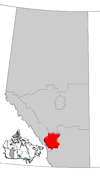
| Descritzione | Map of Calgary Region Alberta, Canada |
| Data | |
| Mitza | GIS data |
| Autore | Qyd (cuntierra · cuntributos) |
| Licèntzia (Comente torrare a impreare custu documentu) |
All |
Litzèntzia
| I, the copyright holder of this work, release this work into the public domain. This applies worldwide. In some countries this may not be legally possible; if so: I grant anyone the right to use this work for any purpose, without any conditions, unless such conditions are required by law. |
Istòria de su file
Carca unu grupu data/ora pro castiare su file comente si presentada in su tempus indicadu.
| Data/Ora | Miniatura | Dimensiones | Utente | Cumentu | |
|---|---|---|---|---|---|
| atuale | 18:28, 4 Ghe 2007 | | 352 × 618 (33 KB) | Qyd | {{Information |Description=Map of Northern Alberta, Canada |Source=GIS data |Date=Jan 2006 |Author={{User|Qyd}} |Permission=All |other_versions= }} Category:Maps of Alberta |
Ligant a custu file
Sa pàgina chi sighit impreat custu documentu:
Impreu globale de su documentu
Impreu de custu documentu in àteras wikis:
- Impreu in de.wikipedia.org
- Impreu in en.wikipedia.org
- Aldersyde, Alberta
- Priddis Greens
- Sheep River (Alberta)
- Benchlands
- Stoney 142, 143, 144
- Kathyrn
- Keoma, Alberta
- Madden, Alberta
- Glenbow, Alberta
- Bottrel
- Cochrane Lake, Alberta
- Conrich
- Elbow Valley, Alberta
- Dalemead
- Dalroy
- Delacour, Alberta
- Indus, Alberta
- Janet, Alberta
- Confederation Park, Calgary
- Heritage Pointe
- Hartell, Alberta
- Chestermere Lake
- Carseland
- Foothills Nordic Ski Club
- Shaw Millennium Park
- Sikome Lake
- Cedarbrae, Calgary
- Template:CalgaryRegion-geo-stub
- Castleridge, Calgary
- Centennial Place (Calgary)
- Blackie, Alberta
- Ghost Lake
- Ghost Lake, Alberta
- Waiparous
- Priddis, Alberta
- Redwood Meadows
- Ralph Klein Park
- Millarville
- User:Volker.haas/PositionAbsolute
- Artists View Park West, Alberta
- Heritage Woods, Alberta
- High Point Estates, Alberta
- Azure, Alberta
- Bennett, Alberta
- List of historic places in the Calgary Region
- Vortex (Calaway Park)
- West Village, Calgary
- Big Hill (Alberta)
- Stoney 142B
Càstia àteros impreos globales de custu documentu.